
SOLUTIONS ALL ERB

Drone and Land Surveying

An aerial perspective and terrain information to support your project.

AERIAL PERSPECTIVE

A new perspective.
More information to support decisions.
Drone inspection

Aerial records to support the visual assessment of areas and structures, according to the purpose of the service.

Photographic reports

Organized images and records of points of interest to document the conditions observed.

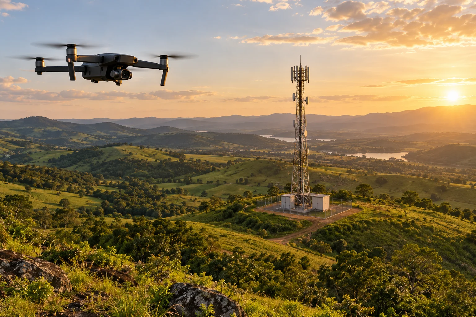
Drone in flight above an area with a radio base station (telecommunications tower) in the background.
AI-generated illustrative image. It does not depict work actually carried out by ALL ERB.
TERRAIN INFORMATION

Land surveying to
understand the terrain.

Topographic surveys and field information to support planning and development studies.
  1. 01
    Definition of the survey area and objective
  2. 02
    Terrain records and information
  3. 03
    Deliverables aligned with the contracted scope
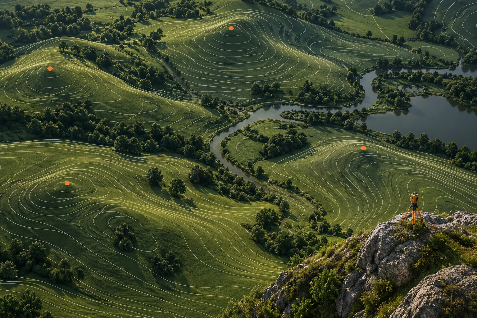
Conceptual representation of terrain with contour lines and survey points, without actual measurement data.
AI-generated illustrative image. It does not depict work actually carried out by ALL ERB.
TELL US ABOUT THE AREA AND YOUR OBJECTIVE

More context.
A clearly defined scope.

Request an assessment

Activities, execution conditions and deliverables are defined in the technical proposal.

BEFORE GETTING STARTED

Questions about this service.

What is a drone inspection used for?

It provides aerial imagery to support observation and documentation of the subject defined in the project. Flight feasibility depends on local conditions and applicable requirements; images do not replace every technical assessment.

Are photo reports and land surveys included?

These are services offered by ALL ERB. Photography, land surveys and other deliverables are agreed in the proposal based on the objective and terrain characteristics. They are not automatically included in every contract.